|
|
| (5 intermediate revisions by the same user not shown) |
| Line 5: |
Line 5: |
| | | | |
| | | | |
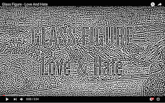
| − | [[File:compression_rad_1.png|thumb|center|400px|alt= TV TV'S – Japanese show from the 80's]] | + | [[File:compression_rad_1.png|thumb|center|600px|alt= | Kevin Bray - Glass Figures https://www.youtube.com/watch?v=cs-CbjFvkXA]] |
| | | | |
| − | https://www.youtube.com/watch?v=JVPtCr384V8
| |
| | | | |
| − | [[File:compression_rad_2 2.png|thumb|center|400px|alt=TV TV'S – Japanese show from the 80's | TV TV'S – Japanese show from the 80's https://www.youtube.com/watch?v=JVPtCr384V8]]
| |
| | | | |
| − | [[File:compression_rad_3.png|thumb|center|400px|alt=Map of the world. A tan band stretches from northern Africa through central China; most of Australia and parts of south Africa and the western Americas are also tan. Dark greens dominate the northern hemisphere. Lighter greens cover much land near the equator. Polar areas are white, the north fringed with light blue.|Macroclimates of the earth. Tans represent desert, dark greens humid continental, and light green tropical rainforest. Light blue and white represent tundra and ice cap.]] | + | [[File:compression_rad_2 2.png|thumb|center|600px|alt=TV TV'S – Japanese show from the 80's | TV TV'S – Japanese show from the 80's https://www.youtube.com/watch?v=JVPtCr384V8]] |
| | | | |
| − | [[File:compression_rad_4.png|thumb|center|400px|alt=Map of the world. A tan band stretches from northern Africa through central China; most of Australia and parts of south Africa and the western Americas are also tan. Dark greens dominate the northern hemisphere. Lighter greens cover much land near the equator. Polar areas are white, the north fringed with light blue.|Macroclimates of the earth. Tans represent desert, dark greens humid continental, and light green tropical rainforest. Light blue and white represent tundra and ice cap.]] | + | [[File:compression_rad_3.png|thumb|center|600px|alt= | Droste Effect, Poster from 1904 ]] |
| | | | |
| − | [[File:compression_rad_5.png|thumb|center|400px|alt=Map of the world. A tan band stretches from northern Africa through central China; most of Australia and parts of south Africa and the western Americas are also tan. Dark greens dominate the northern hemisphere. Lighter greens cover much land near the equator. Polar areas are white, the north fringed with light blue.|Macroclimates of the earth. Tans represent desert, dark greens humid continental, and light green tropical rainforest. Light blue and white represent tundra and ice cap.]] | + | [[File:compression_rad_6.png|thumb|center|600px|alt=|Pete Ashton – Sitting In Stagram]] |
| | | | |
| − | [[File:compression_rad_6.png|thumb|center|400px|alt=Map of the world. A tan band stretches from northern Africa through central China; most of Australia and parts of south Africa and the western Americas are also tan. Dark greens dominate the northern hemisphere. Lighter greens cover much land near the equator. Polar areas are white, the north fringed with light blue.|Macroclimates of the earth. Tans represent desert, dark greens humid continental, and light green tropical rainforest. Light blue and white represent tundra and ice cap.]] | + | [[File:compression_rad_5.png|thumb|center|600px|alt=|]] |
| | | | |
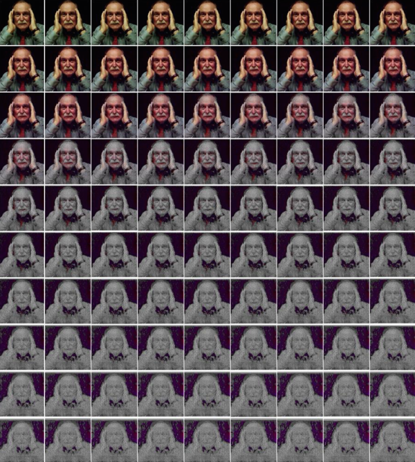
| − | [[File:compression_rad_7.png|thumb|center|400px|alt=Map of the world. A tan band stretches from northern Africa through central China; most of Australia and parts of south Africa and the western Americas are also tan. Dark greens dominate the northern hemisphere. Lighter greens cover much land near the equator. Polar areas are white, the north fringed with light blue.|Macroclimates of the earth. Tans represent desert, dark greens humid continental, and light green tropical rainforest. Light blue and white represent tundra and ice cap.]] | + | [[File:compression_rad_4.png|thumb|center|600px|alt=|Claire L. Evans – How digital media decays digitally.]] |
| | + | |
| | + | [[File:compression_rad_7.png|thumb|center|600px|alt=|]] |
| | | | |
| | ==IMAGE COMPRESSION== | | ==IMAGE COMPRESSION== |
