Difference between revisions of "User:SuzanneGuitjens/Inhuman factors"
(Created page with " == '''Life Compression Goggles''' ==") |
|||
| Line 1: | Line 1: | ||
== '''Life Compression Goggles''' == | == '''Life Compression Goggles''' == | ||
| + | |||
| + | |||
| + | '''People''' | ||
| + | ---- | ||
| + | |||
| + | Alkenah Wansing | ||
| + | Tharim Cornelisse | ||
| + | Suzanne Guitjens | ||
| + | |||
| + | |||
| + | '''Workshop''' | ||
| + | ---- | ||
| + | |||
| + | Results of the workshop we did with Arthur Boer and Boris Smeenk. | ||
| + | <br/><br/> | ||
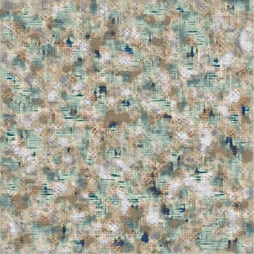
| + | [[File:maps1-tharim.jpg|500px]] | ||
| + | <span style='width:40em;display:block;'> | ||
| + | First dataset with 104 pictures. | ||
| + | <br/> | ||
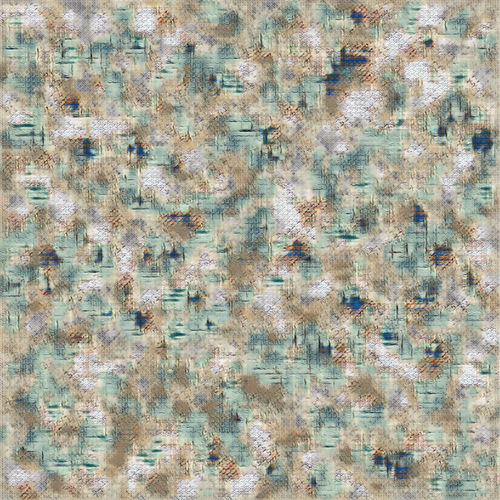
| + | [[File:maps2-tharim.jpg|500px]] | ||
| + | Second dataset with 464 pictures. | ||
| + | |||
| + | <span style='width:40em;display:block;'> | ||
| + | World maps are a way for humans to visualise something very important, their home. | ||
| + | Maps can never show the exact shape and form of the world, because of the shape of the earth and the fact that most maps can only show two dimensions, where the world has three. Through the ages world maps have changed and nowadays they are still changing. Colonialism, science and religion have all made a huge impact on how we look at the world. World maps are always made from the perception of man instead of the perception of reality. That is why world maps are deeply connected with humanity. | ||
| + | <br/><br/> | ||
| + | We collected pictures from the internet using: Google, Pixabay, Tumblr, Pinterest and Flickr. | ||
| + | We tried to collect as much different sorts of maps as we could. The only requirement the pictures had was that they had to depict the world. In the end we divided our pictures in three different categories: older maps, realistic maps and schematic maps. | ||
| + | <br/><br/> | ||
| + | By putting the image into the algorithm we hope to get a picture which roughly shows what is the most important characteristic of the earth, what we find most important when we make an image of the earth. | ||
Revision as of 08:31, 7 December 2017
Life Compression Goggles
People
Alkenah Wansing Tharim Cornelisse Suzanne Guitjens
Workshop
Results of the workshop we did with Arthur Boer and Boris Smeenk.
 First dataset with 104 pictures.
 Second dataset with 464 pictures.
World maps are a way for humans to visualise something very important, their home.
Maps can never show the exact shape and form of the world, because of the shape of the earth and the fact that most maps can only show two dimensions, where the world has three. Through the ages world maps have changed and nowadays they are still changing. Colonialism, science and religion have all made a huge impact on how we look at the world. World maps are always made from the perception of man instead of the perception of reality. That is why world maps are deeply connected with humanity.
We collected pictures from the internet using: Google, Pixabay, Tumblr, Pinterest and Flickr.
We tried to collect as much different sorts of maps as we could. The only requirement the pictures had was that they had to depict the world. In the end we divided our pictures in three different categories: older maps, realistic maps and schematic maps.
By putting the image into the algorithm we hope to get a picture which roughly shows what is the most important characteristic of the earth, what we find most important when we make an image of the earth.